The scale is also depending on the modeling objectives.
The model scope will, for example, be different for the prediction of the spreading of an entire plume (large scale) and for the planning of source zone remedial actions (local scale).
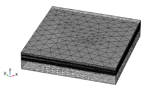
An important aspect when choosing the model extent is to have the boundaries sufficiently far away from the most influential features in the area, such as pumping wells.
The model extent has to be big enough, so that the boundaries do not influence the results in the area of interest.
It should be chosen based on physically meaningful boundaries (f.e. known head isolines or no-flow boundaries).
Source zone remediation needs a different scale than the risk assessment of a contaminant plume for water works.
The following scales can be considered:
- well scale
- source zone scale
- intermediate scale for e.g. pumping tests
- plume scale
Based on available data and modeling objectives, the model complexity has to be chosen.
A very complex and detailed model is not appropriate if only little field data is available.
Then, a simple model can be applied, which can be refined as soon as new data is measured.
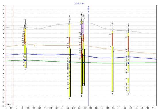
Modeling was an integral part in the limestone project.
Initially, a rough model based on first measurements and available data was setup and used for the planning of further field work and measurements.
These measurements were later on used to improve the model quality.

